GENERAL FACTS
Country: France
Start / Finnish: Nice / Briançon
Total Distance: 26 kilometers
Highest point: 2802 m
Open end-to-end: June to October
Road condition: paved, good.
LOCATION
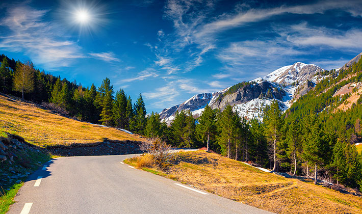
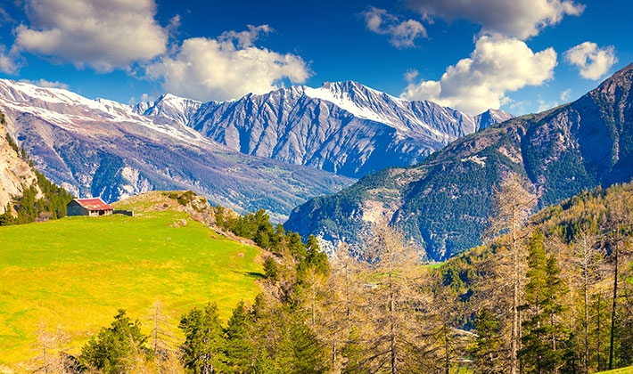
Col de la Bonette is a high mountain pass in the French Alps, near the border with Italy. It is situated within the Mercantour National Park on the border of the departments of Alpes-Maritimes and Alpes-de-Haute-Provence.
HISTORY
The road from Nice to Briançon was built on 1860, but the final route by the summit of the Bonette was built between 1960-1961.
DESCRIPTION
Col de la Bonette, at an elevation of 2802 m above the sea level, is a high mountain pass in the French Alps, near the border with Italy. It's one of the top#50 highest mountain roads in Europe.
It is situated within the Mercantour National Park on the border of the departments of Alpes-Maritimes and Alpes-de-Haute-Provence.
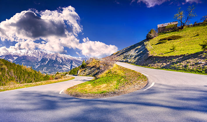
The pass has featured in the Tour de France several times. The climb begins quite easily, but suddenly, after La Chalanette and Le Rochas, the slope becomes more difficult. Around the Casernes de Restefond, an old military building, the percentage is around 8-9%. The pass is traversed by the scenic Route des Grandes Alpes. On the last part of the climb, on the monument of the Cime de la Bonette, the percentage becomes wild, arriving to 10% slope for nearly 1 km.
TIPS FOR TRAVEL
- Even though this road is only opened from June to October, we recommend checking the weather updates before getting on the road, just as a safety measure. There is a small chance that the road is closed due to severe weather climates.
- If you are looking to spend the night, we recommend the Chateau des Magnans in Jausiers or the Montana Chalet Hotel in Le Sauze.